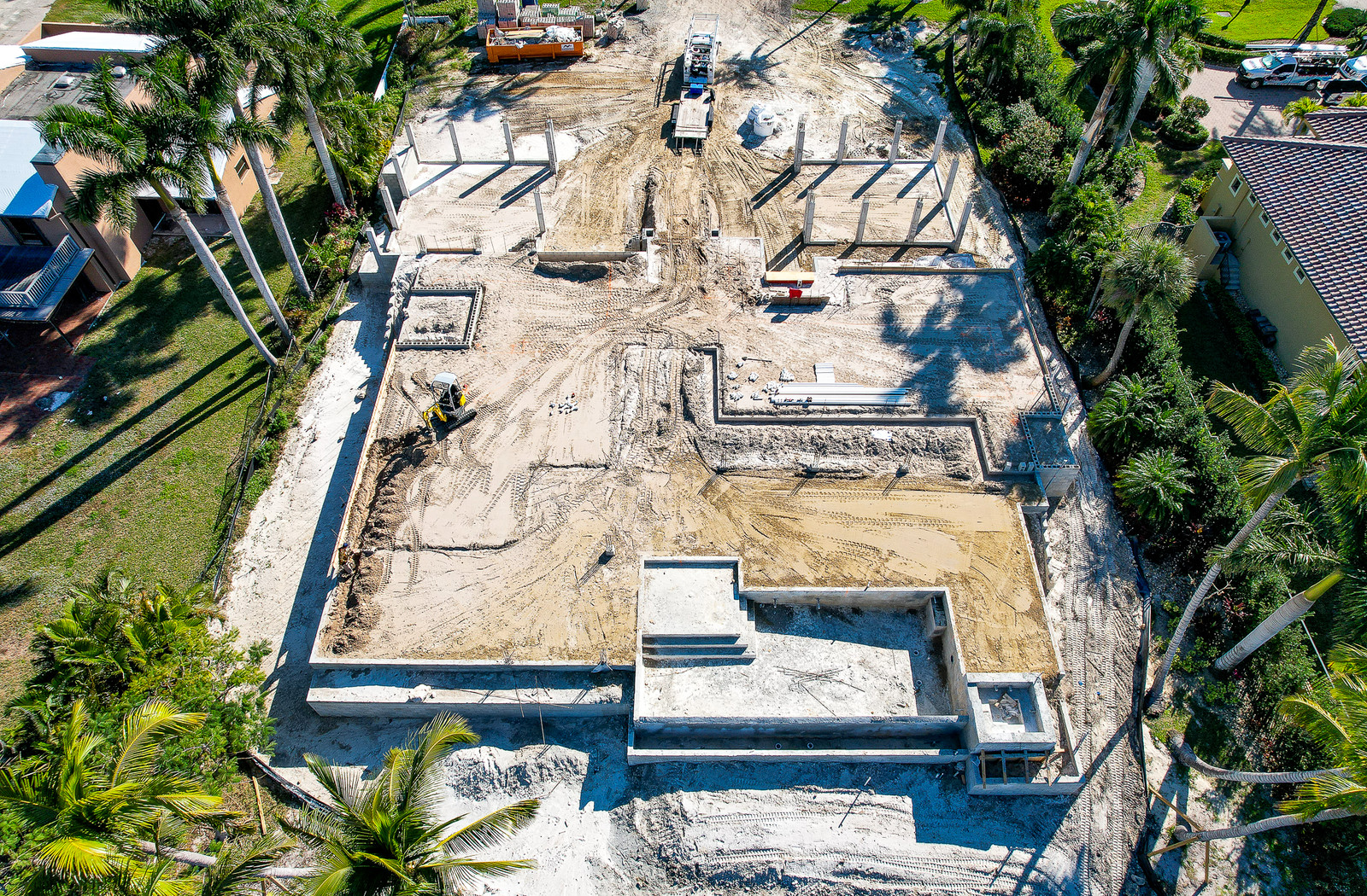
SOUTHWEST FLORIDA COMMERCIAL DRONE OPERATIONS
See the site.
Know the condition.
Commercial inspections, thermal imaging, construction progress and infrastructure documentation built around useful field information.
01 / INSPECTION CAPABILITIES
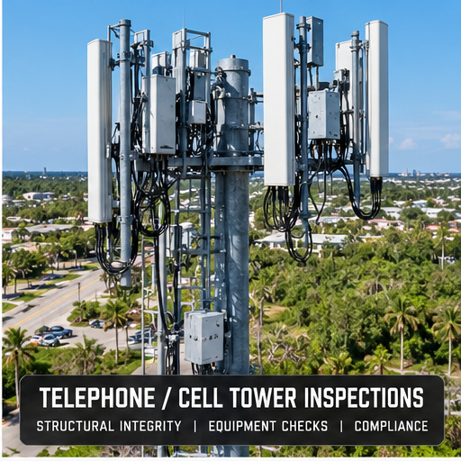
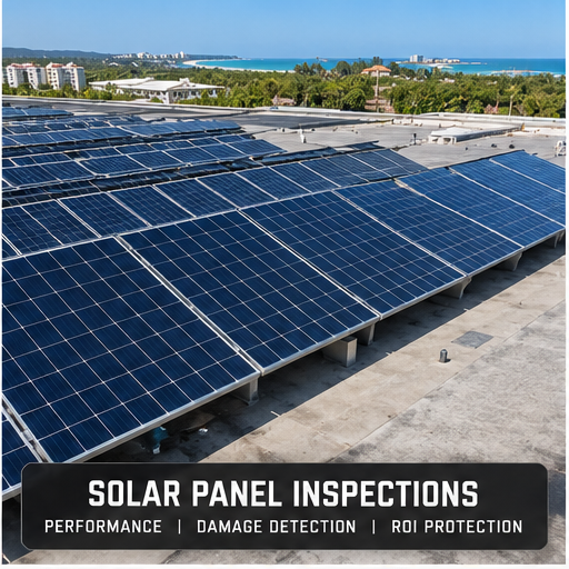
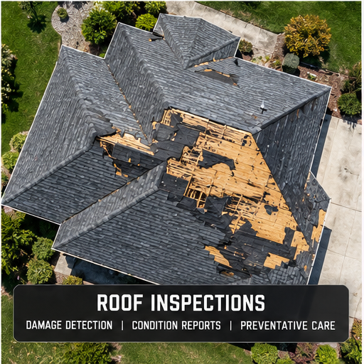
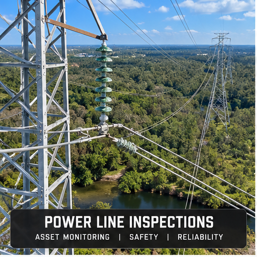
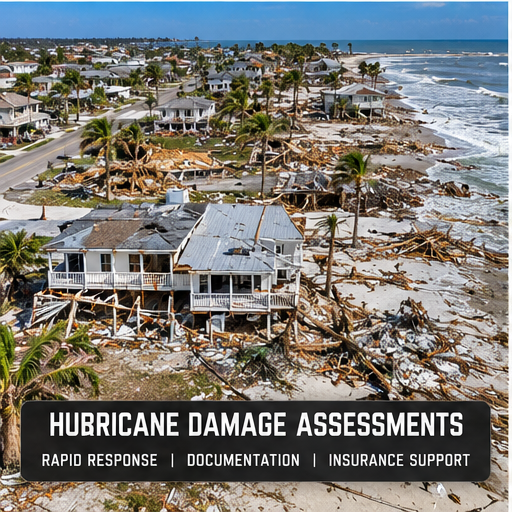
Built to get eyes on the assets
that matter.
Purpose-driven aerial imagery for contractors, property owners, utilities, infrastructure teams and insurance documentation.
02 / CONSTRUCTION PROGRESS
A repeatable visual record from the ground up.
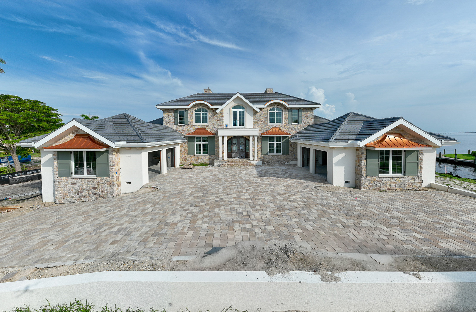
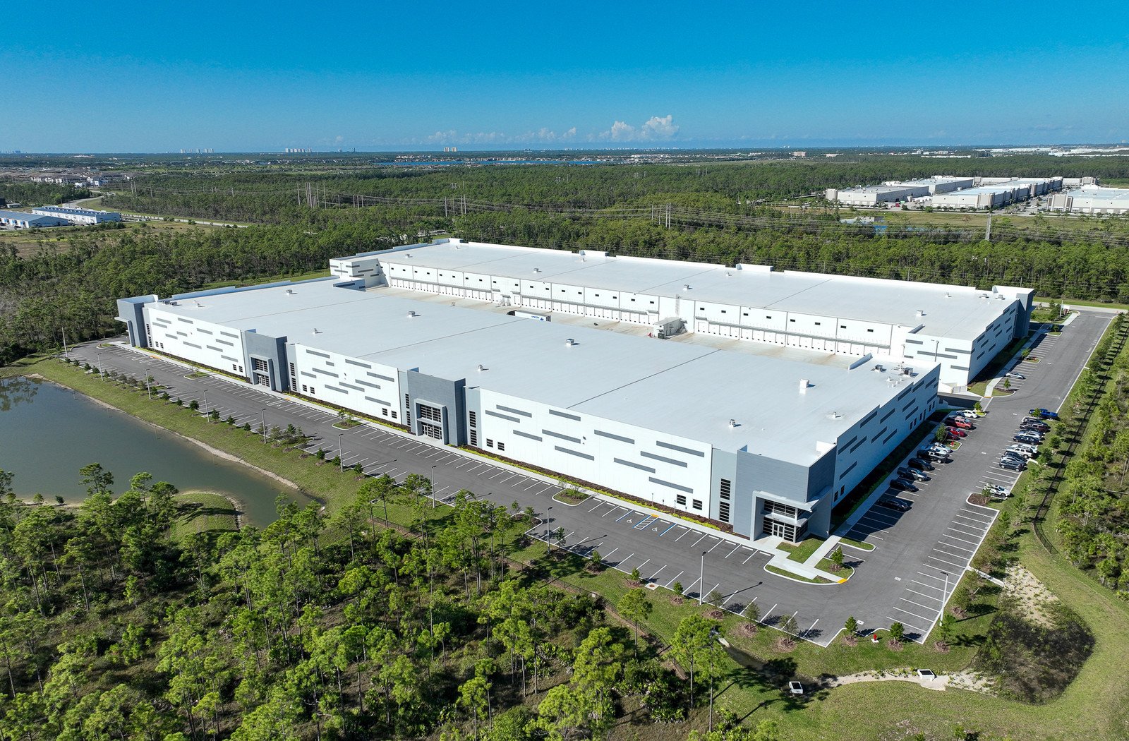
Weekly, biweekly, monthly or milestone documentation gives owners, contractors and project teams a clear record of what changed and when.
Construction Progress Services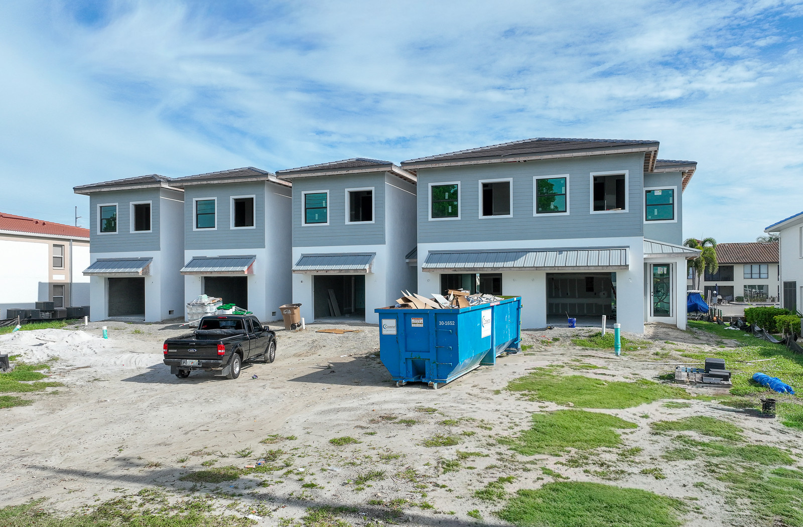
03 / THERMAL IMAGING
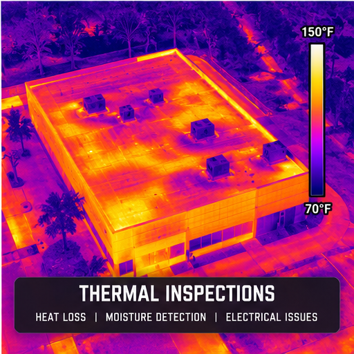
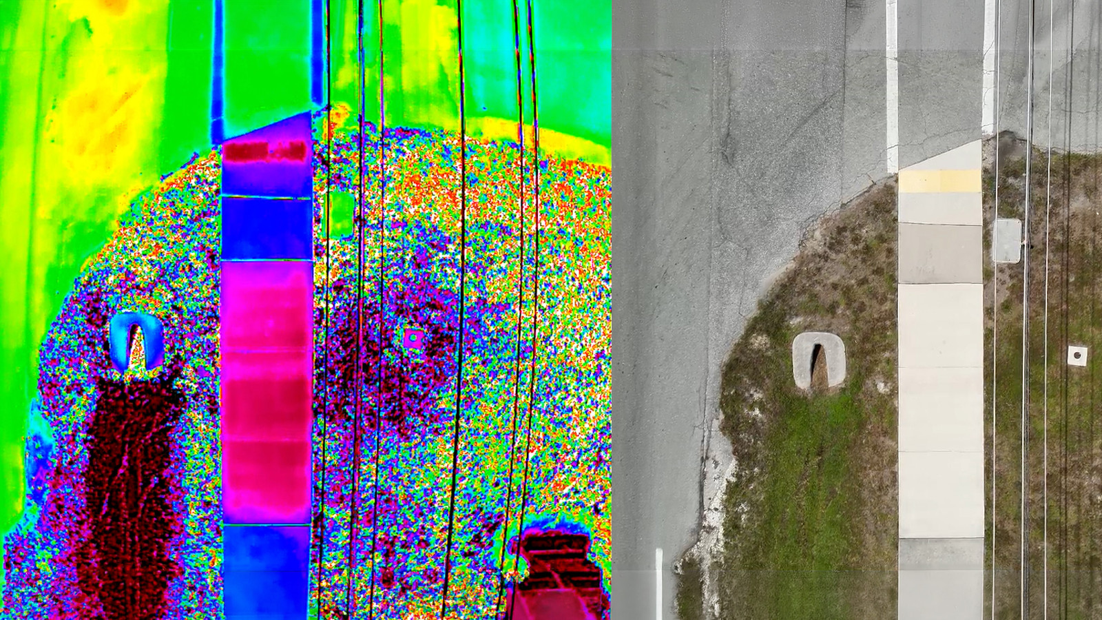
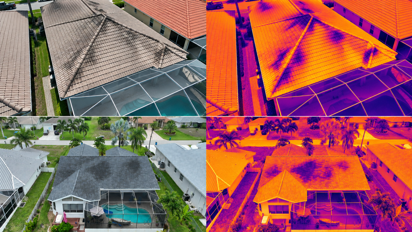
Temperature differences ordinary cameras cannot show.
Thermal drone imaging helps direct attention to heat anomalies involving roofs, building envelopes, utilities, solar panels and other infrastructure.
Thermal Imaging Services04 / LOCAL FIELD EXPERIENCE
Southwest Florida,
from coast to construction site.
Serving Fort Myers, Lee County, Cape Coral, Fort Myers Beach, Sanibel, Estero, Bonita Springs and Naples. Broader Florida projects considered by scope.
View service area ↗FIELD WORK / SERVICES
Commercial drone services, on the job.
See the field work behind roof and property inspections, construction progress, thermal imaging, infrastructure documentation and aerial mapping.
Discuss your project ↗