COMMERCIAL DRONE SERVICES
Infrastructure Drone Inspection & Documentation
Document infrastructure from above and from practical observation angles. Give project teams a visual record of assets that are difficult, costly or hazardous to physically access.
Request a Project Quote ↗A clearer view of critical assets.
Project scope starts with the site, the assets and what your team needs to document.
- Roads and bridges
- Utilities and elevated structures
- Drainage and stormwater systems
- Coastal infrastructure
- Public works and construction infrastructure
- Large facilities and difficult-access areas
Who uses this service
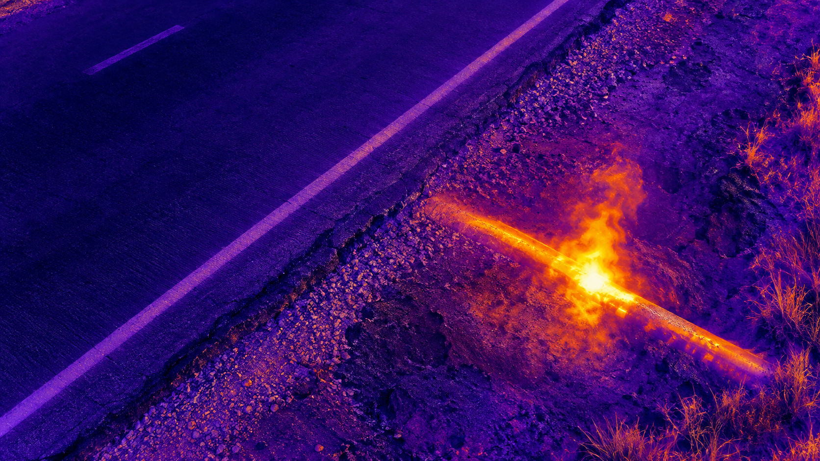
Engineering companies, municipalities, utilities, public works teams and infrastructure contractors use this service to obtain a clear visual record, support project communication and plan follow-up work.
What you receive
Detailed aerial imagery, asset overview photographs and condition documentation organized by the agreed project scope.
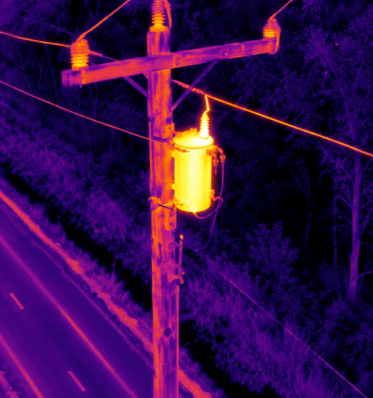
Visual data collection does not include professional engineering analysis, structural certification or licensed surveying.
LET’S TALK ABOUT YOUR PROJECTThe right aerial view starts
Request a Project Quote ↗